Hadrian's Wall: Steel Rigg to Housesteads
Walk · 3 miles · 58 min · 12 stops
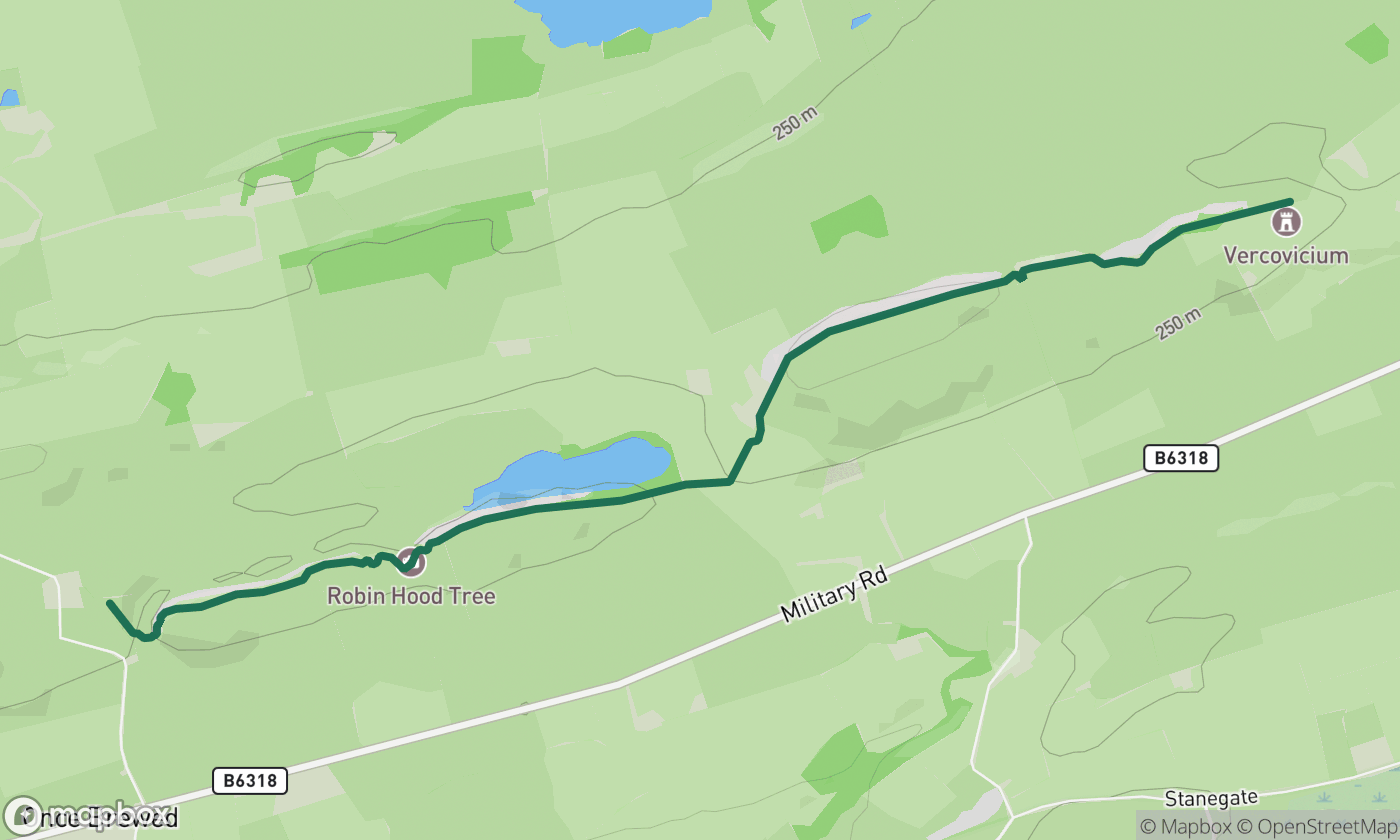
The finest stretch of the Wall: crags, milecastles and Sycamore Gap, ending at Housesteads Roman fort. Point to point, so return by the same path or the AD122 bus.
This is the postcard stretch of the Wall, crags, milecastles and the (much-missed) Sycamore Gap, ending at Housesteads, the most complete Roman fort in Britain. It's point-to-point: walk back the way you came or catch the AD122 bus in season.
The route, stop by stop
- Steel Rigg
- Peel Crags
- Peel Gap
- Cat Stairs
- Castle Nick
- Sycamore Gap
- Highshield Crags
- Crag Lough
- Hotbank Farm
- Rapishaw Gap
- Cuddy's Crags
- Housesteads Fort
Drive it with turn-by-turn
This route is built into Scenic Way. Open it, tap Walk, and get full sat-nav with live traffic on iPhone and CarPlay. Your first 2 journeys are free.
Get Scenic Way on the App Store